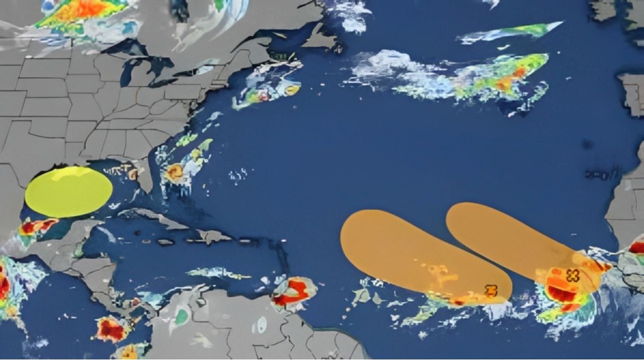
The ever-present threat of tropical cyclones looms large over regions encompassing the Gulf of Mexico and the Atlantic Ocean. These regions, characterized by warm sea surface temperatures and favorable atmospheric conditions, are notorious breeding grounds for tropical storms and hurricanes. As climate patterns continue to shift, it becomes increasingly important to monitor specific areas prone to tropical development. In this article, we will delve into three key regions that demand close attention due to their historical significance and potential for fostering tropical cyclones: the Gulf of Mexico, the Caribbean Sea, and the Atlantic Main Development Region (MDR).
Gulf of Mexico: A Breeding Ground for Intense Hurricanes
The Gulf of Mexico is one of the most active regions for tropical cyclone formation due to its warm waters and conducive atmospheric conditions. Its relatively shallow waters provide a breeding ground for intense hurricanes, as evidenced by the historical records of storms like Hurricane Katrina in 2005 and Hurricane Harvey in 2017. The warm sea surface temperatures in the Gulf serve as a primary fuel source for tropical cyclones, allowing them to gain strength and intensify rapidly.
Furthermore, the Gulf’s geographical proximity to land makes it a significant threat to coastal communities. The convergence of moist air from the Gulf and other atmospheric factors can lead to explosive cyclogenesis, resulting in rapid storm development. With sea levels rising due to climate change, the potential for more significant storm surges and coastal flooding amplifies the dangers associated with Gulf-based tropical cyclones. Monitoring atmospheric conditions and sea surface temperatures in the Gulf of Mexico is crucial for early detection and preparedness efforts.
also read this : Samsung Plano Texas: A Tale of Technological Innovation and Corporate Excellence
Caribbean Sea: A Complex Interaction of Factors
The Caribbean Sea presents a unique challenge for tropical cyclone prediction due to its complex geographic layout and the interactions between various meteorological factors. Warm sea surface temperatures combined with the convergence of trade winds make the Caribbean a hotspot for tropical storm formation. However, the intricate interplay between the Intertropical Convergence Zone (ITCZ), African easterly waves, and upper-level wind patterns adds a layer of complexity to predicting cyclone development.
One of the most notorious examples of this complexity is Hurricane Irma in 2017, which rapidly intensified into a Category 5 hurricane while traversing the warm waters of the Caribbean. Understanding the triggers and inhibitors of rapid intensification in this region is critical for improving forecast accuracy and giving communities more time to prepare. Additionally, the Caribbean’s vulnerability to storm impacts necessitates robust disaster response plans and evacuation strategies.
Atlantic Main Development Region (MDR): Birthplace of Long-Track Hurricanes
The Atlantic MDR, often referred to as the “hurricane alley,” stretches from the west coast of Africa to the Caribbean. This vast expanse of ocean is a primary breeding ground for the most powerful and long-lived hurricanes. Warm waters, low wind shear, and a favorable atmospheric environment contribute to the MDR’s reputation as a prolific generator of tropical cyclones.
Historically, hurricanes like Andrew in 1992 and Ivan in 2004 have originated in this region and wreaked havoc on coastal communities. Understanding the cyclical patterns of African easterly waves and their potential for cyclone development is a key aspect of monitoring the MDR. As climate change alters atmospheric circulation and sea surface temperatures, studying shifts in the MDR’s activity patterns is crucial for anticipating changes in tropical cyclone behavior and frequency.
In a world where climate change is reshaping weather patterns and intensifying storm systems, keeping a vigilant eye on regions prone to tropical cyclone development is of paramount importance. The Gulf of Mexico, the Caribbean Sea, and the Atlantic Main Development Region stand out as areas with historical significance and the potential to spawn powerful storms. Advances in meteorological understanding, satellite technology, and computer modeling allow us to track these regions with greater precision and provide communities with earlier warnings, enabling them to implement life-saving measures. As we continue to navigate the complexities of our changing climate, proactive monitoring and preparedness remain our best defenses against the forces of nature.